Investigation of Microphysics and Precipitation for Atlantic Coast-Threatening Snowstorms (IMPACTS)
New NASA research project employs an impressive array of technology to discern how and why intense bands of snow form in winter storms in order to supply forecasters with data to improve predictions of severe winter snowfall.
IMPACTS is carrying out several major field campaigns that will study how snow bands develop and grow in hazardous East Coast snowstorms, something that has not been the focus of a major research campaign in 30 years! The US East Coast has many large cities and population centers, so the snow from these snowstorms can have a big societal impact on transportation, commerce, and public safety. The data that IMPACTS collects will be used to improve how we forecast snow. Heavy snow falls from long narrow “snow bands” within storms. The unevenness of the snow bands within the storm is what makes predicting snowfall amounts so difficult. Which storms have strong snow bands and which storms do not? Can we measure snowfall from these narrow snow bands from space? Can we predict the location of the most intense snowfall? IMPACTS will help us find out! Better predictions mean communities can be proactive in protecting populations from oncoming hazards and disruptions.
“I have loved watching clouds and the sky for as long as I can remember. I have always loved doing outdoor activities such as skiing, hiking, biking and gardening, and understanding the weather, clouds and processes that create the rain and snow help me decide when and where to do those activities. Now as a scientist I not only get to admire the sky and the clouds, but learn about my favorite storms – snowstorms – and learn about them on all scales, down to the processes that make the snow and organize the snow into snowbands.” – Lynn McMurdie
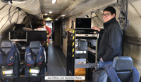
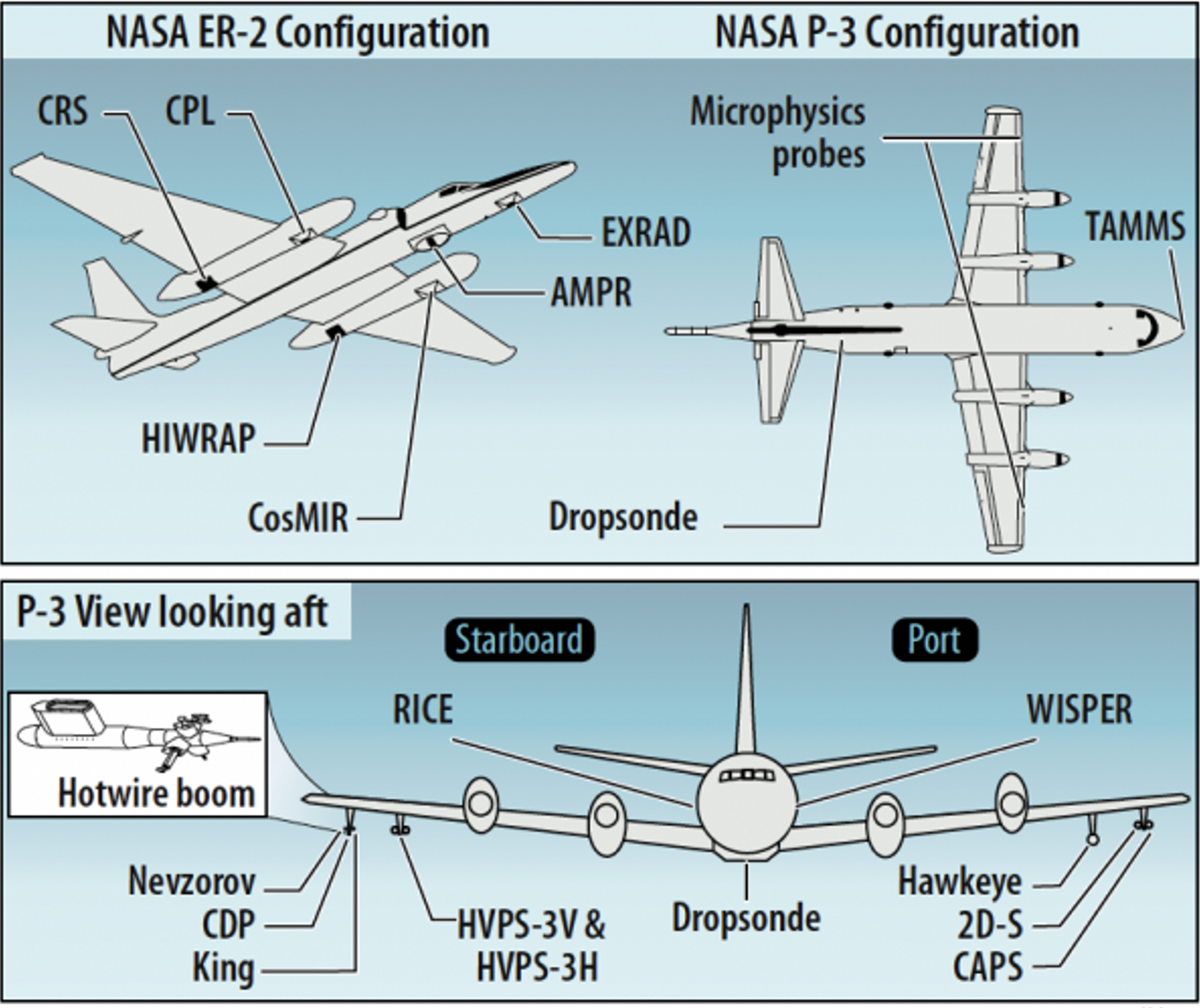
Two NASA aircraft are being used by IMPACTS to go ‘snowstorm chasing’ during three wintertime field campaigns over a three-year period. The NASA ER-2 aircraft flies above the clouds at heights of more than 15 km (9 miles), and carries instruments such as radars, lidars, and microwave sensors that are similar to instruments on satellites now. The second aircraft is the NASA P-3B, and it flies within the snowstorm. The P3B carries instruments that directly sample characteristics of the snowstorm, such as the shapes and sizes of the snow crystals and the environment in which they form. These two aircraft fly coordinated patterns within, above, and around snowstorms as the storms develop, taking data so the scientists can learn exactly how intense snow bands develop within the storms. The data from the remote sensing instruments on the ER-2 aircraft will also help scientists improve our ability to measure snow from satellites.
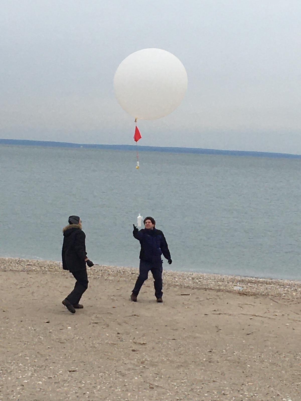
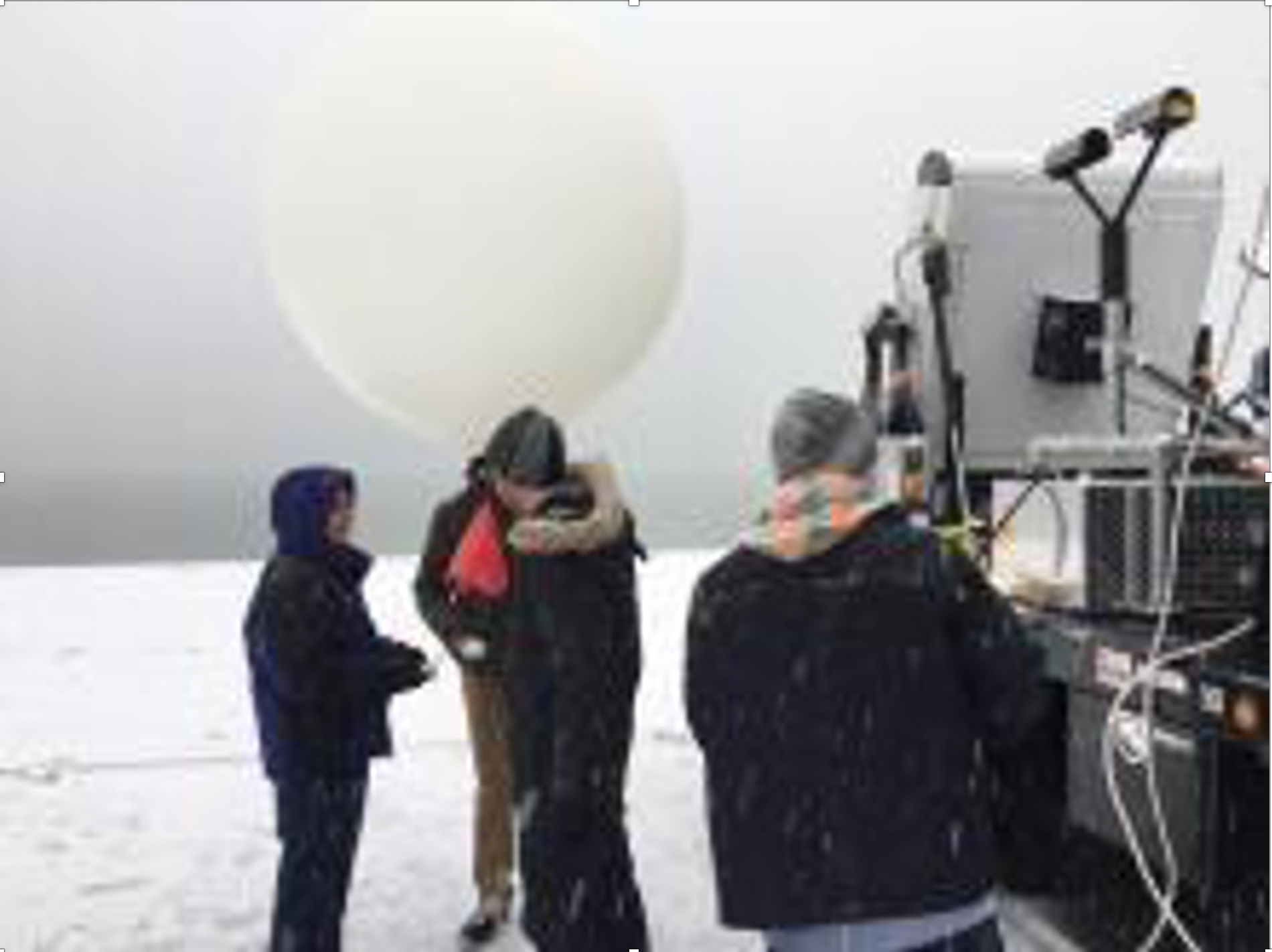
IMPACTS collects data from a “satellite-simulating” ER-2 and in-situ measurements from a cloud penetrating P-3, augmented by ground-based radar and rawinsonde data, multiple NASA and NOAA satellites [including GPM, GOES-16, and the Joint Polar Satellite System (JPSS)], and computer simulations. The ER-2 and P-3 provide the flight-altitude and long-endurance capabilities and payload capacity needed for the combined remote sensing and in-situ measurements.
Related Projects
